A week after the fourth regional meeting of the Joint Board on Interstate Highways had taken place in Atlanta, the fifth of these meetings -- likewise focused on potential U.S. Highway Numbered System routes -- was held in New York City on June 15, 1925. The previous day’s edition of the New York Times reported,... Continue Reading →
April 15, 1924 The Rand McNally Auto Chum, a highways map guide for car travel throughout the United States, was published. This guide was the first edition of what ultimately became the best-selling Rand McNally Road Atlas. The Auto Chum came out at a time when cars were increasingly embraced and used nationwide, and highways to accommodate... Continue Reading →
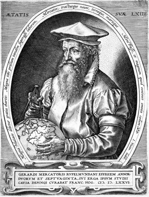
December 2, 1594 Gerardus Mercator, whose influential work in cartography included a seminal 1569 map that depicted sailing courses worldwide, died at the age of 82 in the city of Duisburg in present-day Germany. He had been born on March 5, 1512, in the town of Rupelmonde in what is now Belgium. Mercator established a niche... Continue Reading →