September 19, 2009
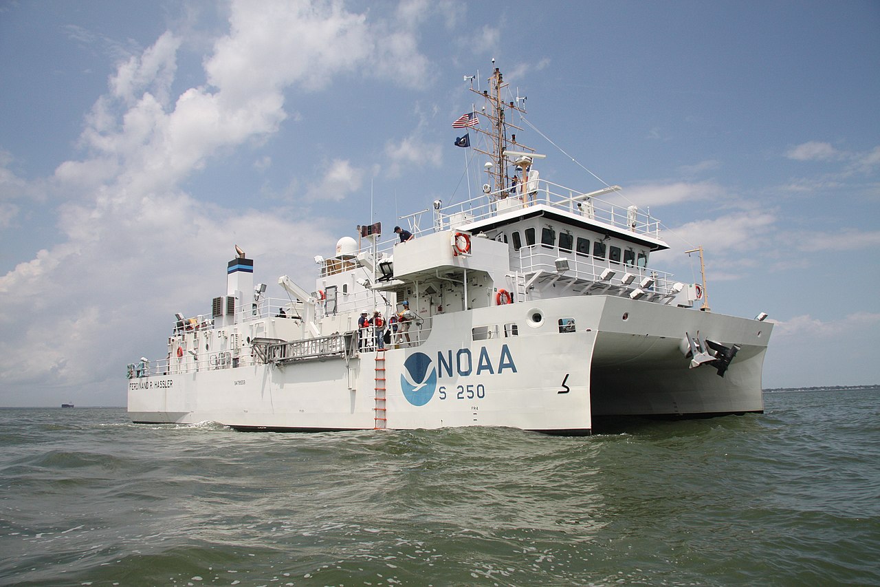
A state-of-the-art coastal mapping vessel built for the National Oceanic and Atmospheric Administration (NOAA) was launched into the East Pascagoula River at the shipyard of VT Halter Marine, Inc., in the vicinity of Moss Point, Mississippi. This vessel was formally commissioned as NOAAS Ferdinand R. Hassler (S 250) on June 8, 2012.
As part of NOAA’s fleet, this 124-foot (37.7-meter)-long ship has been extensively deployed for various hydrographic surveys throughout both the Great Lakes and the Gulf of Mexico and also in major bodies of water between those two regions. The Ferdinand R. Hassler has specifically been used for missions such as monitoring changes to the sea floor; updating nautical charts; and assessing potential dangers to navigation.
This vessel was named after a trailblazing surveyor. Swiss-born Ferdinand Rudolph Hassler (1770-1843), who immigrated to the United States in 1805, made notable contributions as the first superintendent of the U.S. Survey of the Coast and later the first superintendent of the U.S. Office of Standard Weights and Measures. He is now widely regarded as the father of both NOAA and the National Institute of Standards and Technology (NIST).
Photo Credit: NOAA’s National Ocean Service (https://www.flickr.com/people/40322276@N04) – licensed under the Creative Commons Attribution 2.0 Generic license at https://creativecommons.org/licenses/by/2.0/deed.en
Additional information on NOASS Ferdinand R. Hassler (S 250) is available at https://en.wikipedia.org/wiki/NOAAS_Ferdinand_R._Hassler
For more information on Ferdinand Rudolph Hassler, please check out https://en.wikipedia.org/wiki/Ferdinand_Rudolph_Hassler

Leave a comment